Edgewood City Schools announced closure today with Superintendent Kelly Spivey stating “several districts are looking at early dismissal tomorrow. This isn’t a option for the Edgewood School District because we are short two bus drivers tomorrow.”
She added, “due to the snow prediction, cold temperatures, bus driver shortage and inconvenience to families with last-minute early dismissals, the Edgewood City School District will close tomorrow.”
The Talawanda School District has also announced closure for Friday.
Public works crews in the region are regrouping as snow plow operators get rest and crews clean and repair equipment and snow plows. Drivers and trucks had been rotating plowing the streets since Sunday morning until after the snow ended Monday.
The area could see anywhere from another 1 to 3 inches of snow on Friday, starting in the late morning and early afternoon, “but I wouldn’t rule out some locations seeing up to 4 inches of new snowfall,” reported Jennifer Ketchmark, a meteorologist with our news partners at WCPO.
A few inches of new snow will be on the ground by the evening commute, she reported.
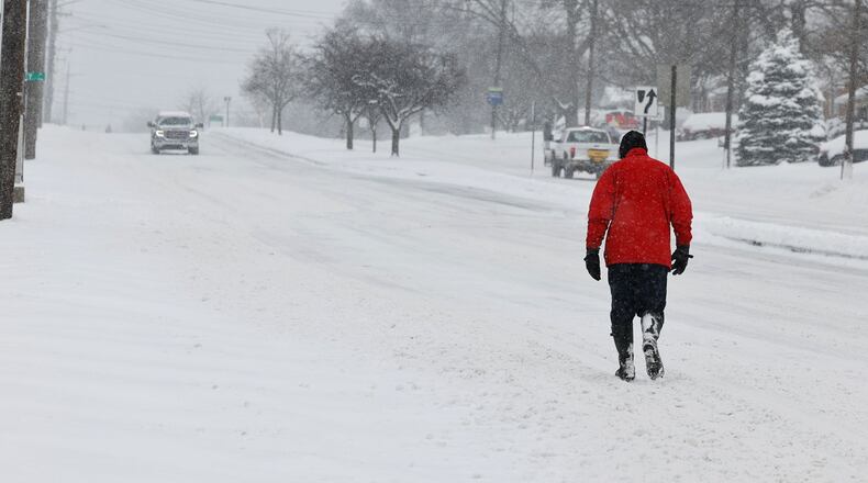
At the start of the week, the region was blasted with a winter storm of the likes the area hasn’t experienced in years. Nearly 10 inches fell over two days in early February 2021 and almost 11 inches fell in a two-day span in early March 2008.
Piles of slushy snow from this week’s historic two-day snow fall ― it’s seventh largest on record for Cincinnati ― are still on corners of intersections, at the mouths of cul-de-sacs and along the sides of streets. The below-freezing temperatures have prevented that snow from melting into culverts and storm sewers.
Credit: Nick Graham
Credit: Nick Graham
Thousands of tons of salt had been tossed on streets across Butler County, with 1,100 tons used just on Hamilton’s 550 lane miles that were cleared.
“Basically, we used about 100 tons per inch of snow,” said Hamilton Public Works Director Dan Arthur.
When snow plows are back out clearing the new snow, drivers need as much room as possible, from motorists on the road to cars parked in the street, Arthur said.
“If your vehicle is on the street, and you have the ability to park them in your driveway, or maybe your garage, please do your best to get them off the streets so we can plow and clear the streets the best we can,” he said. “Half the time, the drivers are trying to navigate around the vehicles that are in the road and right-of-way, and it takes us longer to get through the routes.”
Hamilton received about 500 more tons of salt to partially replace this week’s usage, but many communities, like Fairfield, waited until after the snowstorm. Mann, who said he unofficially measured 11½ inches in Fairfield, they used about 1,500 tons and have 2,000 more in the salt barn, which could cover a couple of storms.
But with the amount of snow the region received on Sunday into Monday, and snow not melting because of the below freezing temperatures, he said, “With this snow, you just got to put it anywhere you can put it.”
Mann said fire crews were digging out fire hydrants in the city because of this week’s high volume of snow.
Credit: Nick Graham
Credit: Nick Graham
About the Author


